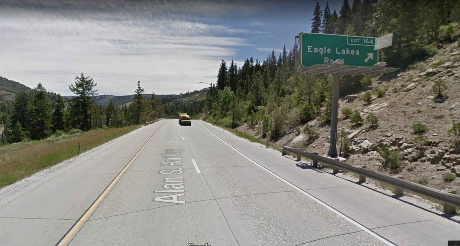
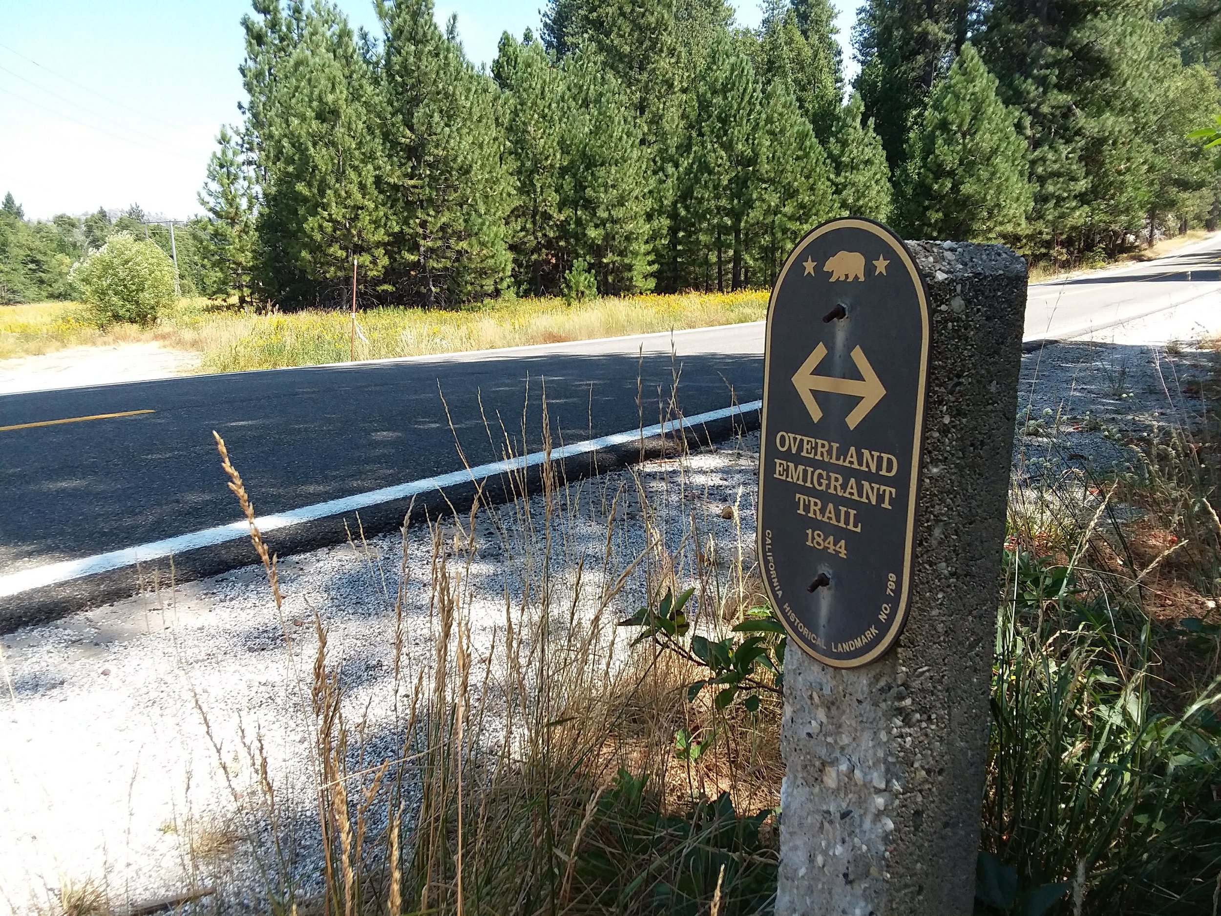
Wanting to keep our trip closer to home this time, we took a quick ride to Folsom Lake. We wanted to see the old Rattlesnake Bar Bridge site, which once forded the north fork of The American River, long before Folsom Dam. When the lake is filling or filled, this area is flooded by at least 50 feet of water. The lake had left lines in the sides of the hills, and old signs of hydraulic mining along with tailings added to the weird but beautiful landscape.
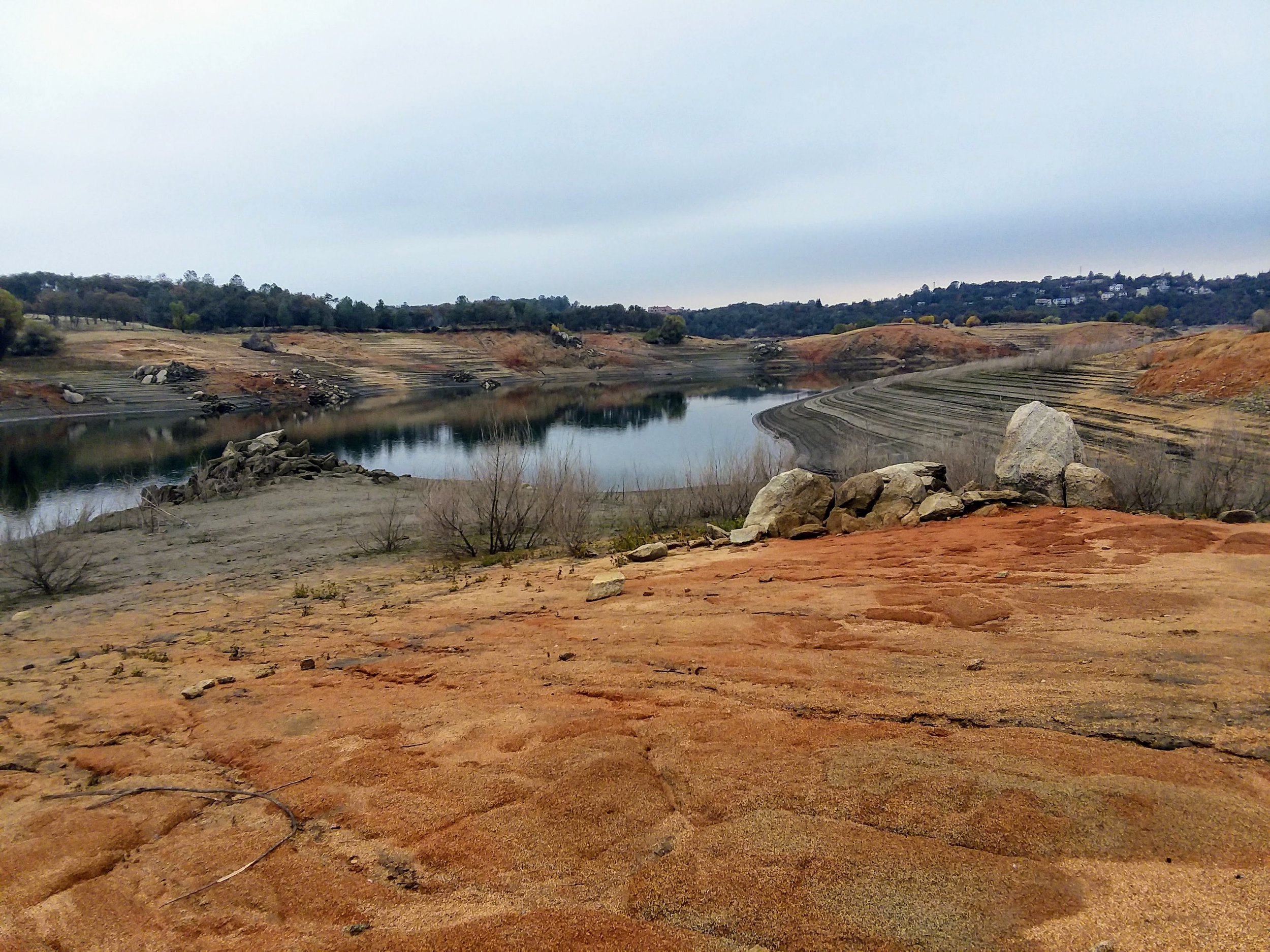
Folsom Lake at low levels, Rattlesnake Bar.
We rounded a corner to see the pilings for the bridge fully exposed! We knew what they looked like from earlier photos taken during our last drought, but it's fun to see them in person. It reminds us that there were quite a few active communities located in the ravines and channels that would become Folsom Lake. Rattlesnake Bar was one such place, a town that grew because of gold, burned down, then built again just a little way up the hill. We had heard that Rattlesnake Bar was on the El Dorado County side, but this map from 1873 shows Rattlesnake Bar on the Placer County side. You can also see the bridge crossing the narrow north fork Channel and Wild Goose's old town site on The El Dorado County side. Another map from 1910, The American River Canal Map, also shows Rattlesnake Bar on the Placer County side.

1873 map of The Georgetown Divide
While gold was the main impetus for creating Rattlesnake Bar in the 1850s, the bridge facilitated the transportation of agricultural products and quicklime from the Alabaster Cave Quarry on the El Dorado County side. It was William Gwyn, discoverer of the famous Alabaster Caves, or at that time called Coral Caves, who built the first bridge in 1863. This cave was the result of a search for lime to use in the lime kiln nearby. Quicklime was created and then transported across this bridge. The Alabaster Cave soon became a tourist attraction, and the bridge helped interested people get there more quickly. You could take the train from Sacramento to Auburn, then a stage to the bridge, where you would cross to the El Dorado side and the extraordinary Alabaster Cave. We will talk about this then famous cave in a later post.

Sacramento Daily Union, Volume 25, Number 3835, 7 July 1863
The original wooden bridge, built-in 1862, was replaced with a wire suspension bridge that endured until it collapsed in 1954 under an overloaded truck's weight. Folsom Dam was under construction, and this area would soon be underwater, so the counties did not replace the bridge.

Rattlesnake Bar Bridge, 1860 or 1870’s. Notice the young child just to the left of the man standing.
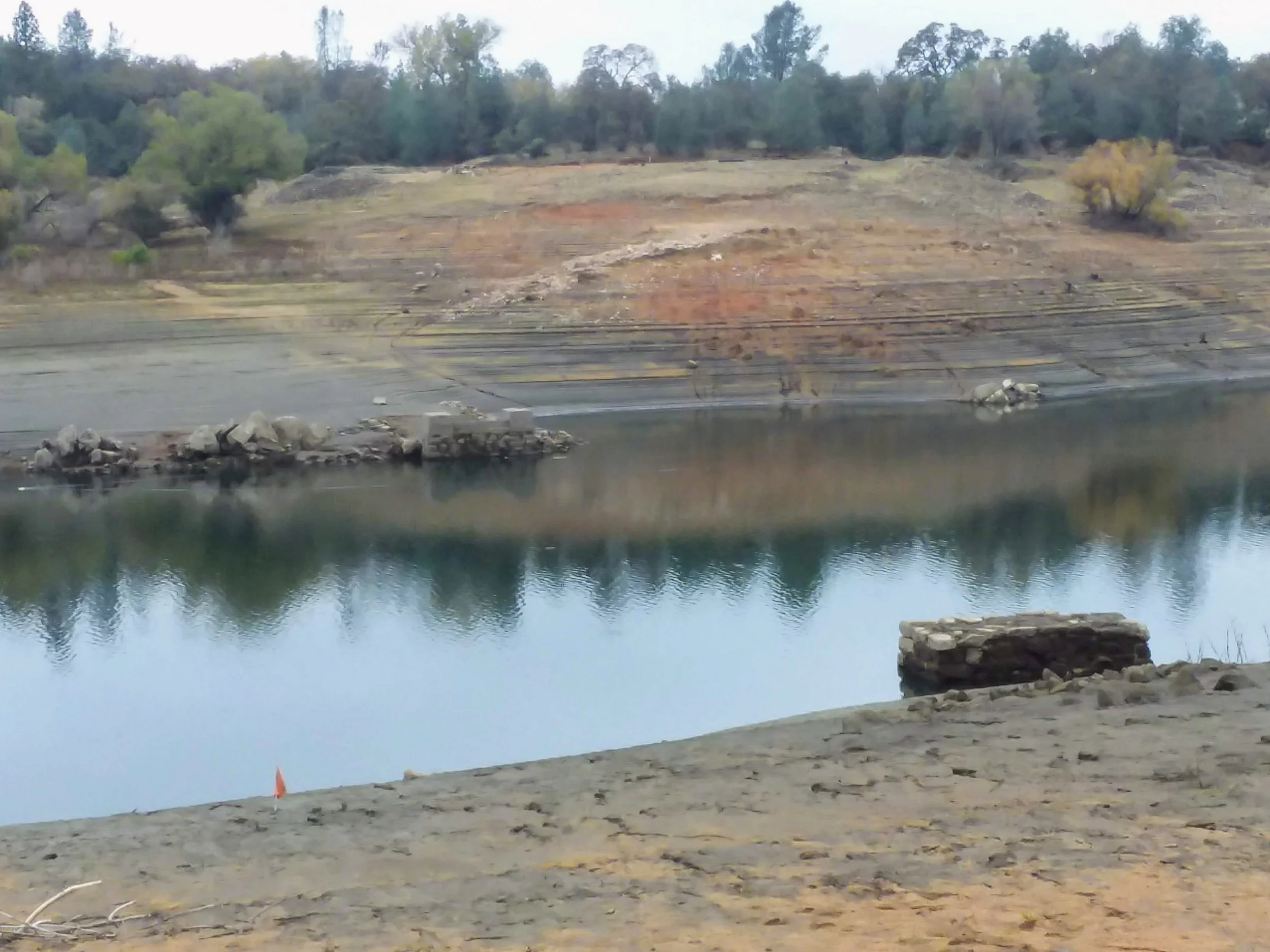
The same spot today with the bridge pilings clearly visible.
Here is a short video concerning our trip to the bridge site.