We have been discussing the route of the original 1913 Lincoln Highway through El Dorado County, and with our last post, we started the climb from the Lake Tahoe Valley floor up Meyers Grade towards Johnson’s Pass. The photo above shows an automobile making the climb from where I believe the present Highway 50 passes. There are only a few flat spots along the grade, and one such spot is where Meyer’s Grade Road passes over the present-day freeway. In the map below, we show where this photo, #1, was taken. When the present freeway was built, some of the original section of the last climb up to the pass was destroyed. We believe the car is where the present-day freeway passes.

Click map for larger view!
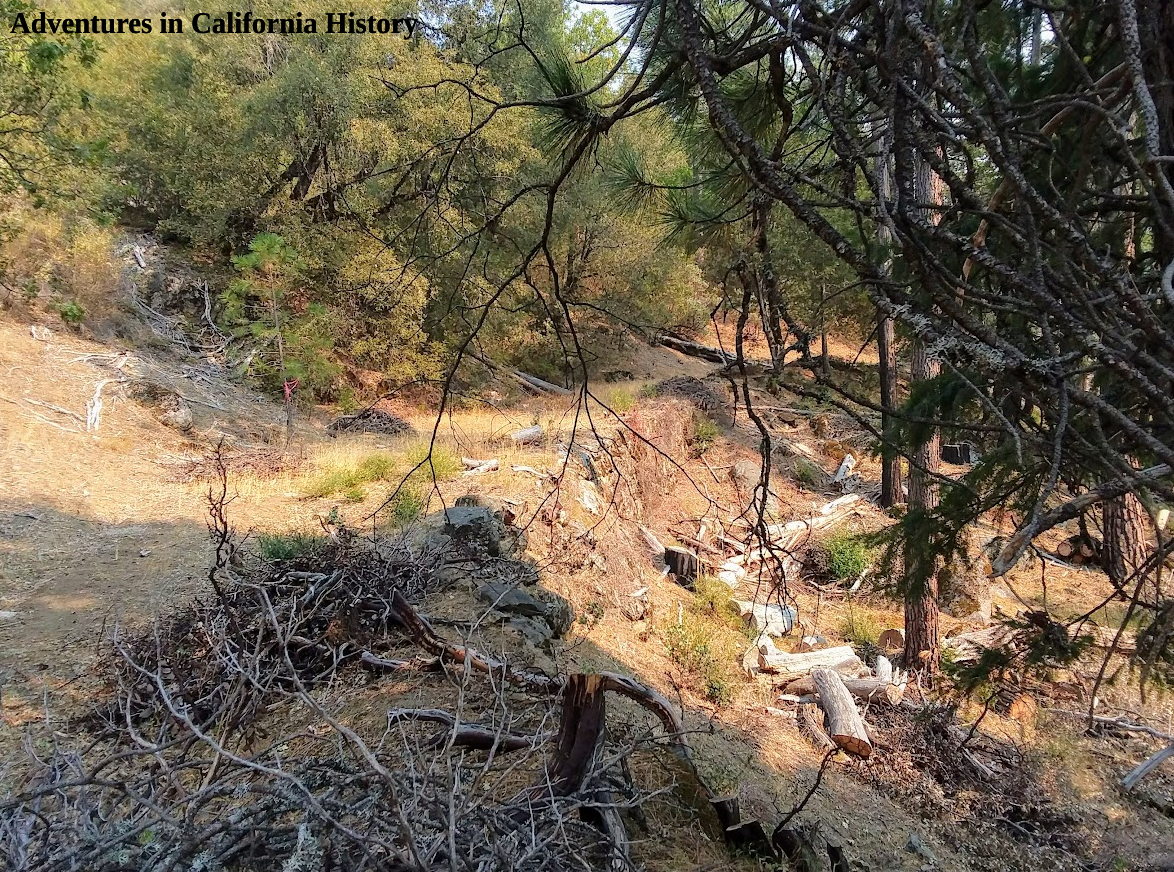
This section from Highway 50 up to the pass was considered the last major obstacle on the way to the promised land of California. This is likely the steepest ascent yet, and you can still drive this section! Imagine trying to pull with oxen a wagon full of your goods up and over this section. Early automobiles would often break down, trying to navigate this last section and call for help from the Celio Ranch, in Meyer’s. In the photo below, we see the 1919 Army Convoy members being assisted by a caterpillar tractor.

1919 Army Convoy on Meyers Grade getting an assist from a Caterpillar tractor.
The photo below is a TC Wohlbrück photo showing his car in about the same spot as the photo above with the Army Truck. At this point we are almost at the summit, maybe less than a quarter of a mile away. Imagine driving this dirt road after rain!

A Theodore Wohlbrück photo from a few later than the Army Convoy photo at the same hairpin turn.
Once you reached the top of the pass after 1922, you would be greeted by a Canteen Service Station run by Theodore Wohlbrück. There you could pick up supplies, get water for the radiator, and have a bite to eat while enjoying the spectacular view. In our next El Dorado County Lincoln HIghway post, we will look at that Canteen service station and the summit pass.

The view looking east towards Lake Tahoe from Johnson’s Pass.